Introduction
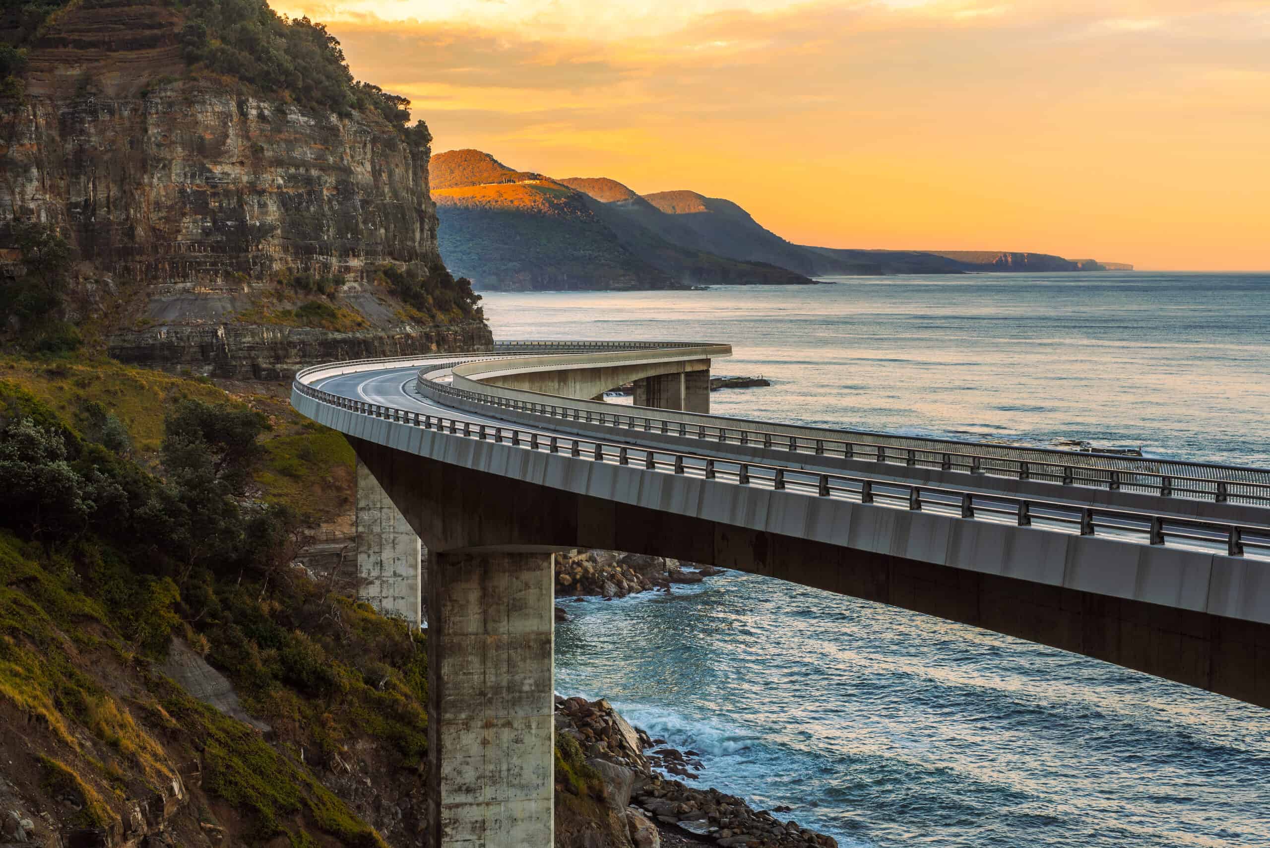
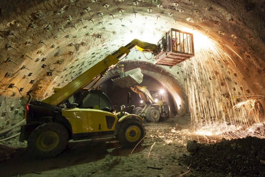
Dr. Fermín Sanchez and his team was tasked with the construction of a highway from Tepic City to Puerto Vallarta City on the Western Coast of Mexico. In this case study, he encountered a significant mass of rock sliding close to a tunnel portal due to an open cut, which was caused by the re-activation of a geological fault.
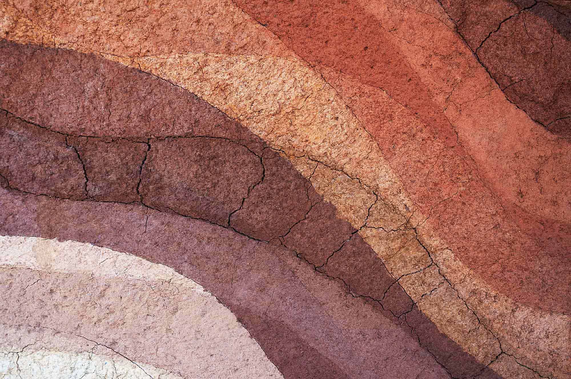
The case study was developed during the construction of the highway from Tepic City to Puerto Vallarta City on the Western Coast of Mexico. The study area is geologically placed within the Transversal Neovolcanic Axis, formed by igneous structures, and volcanic-sedimentary deposits of rocks of different compositions from andesitic, basaltic to rhyolitic with ages from the Late Pliocene to the Holocene, the area is also affected by normal faults and lateral movements.
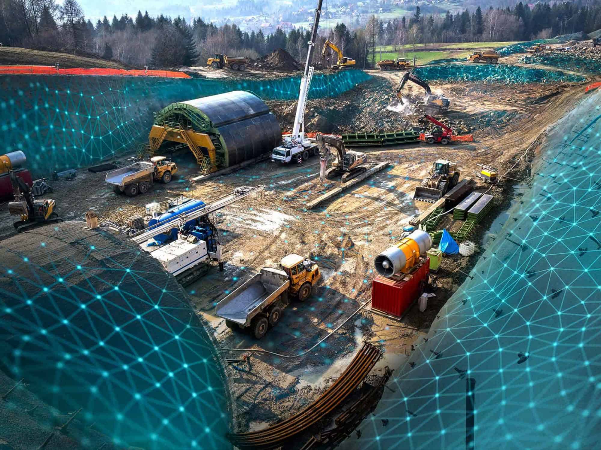
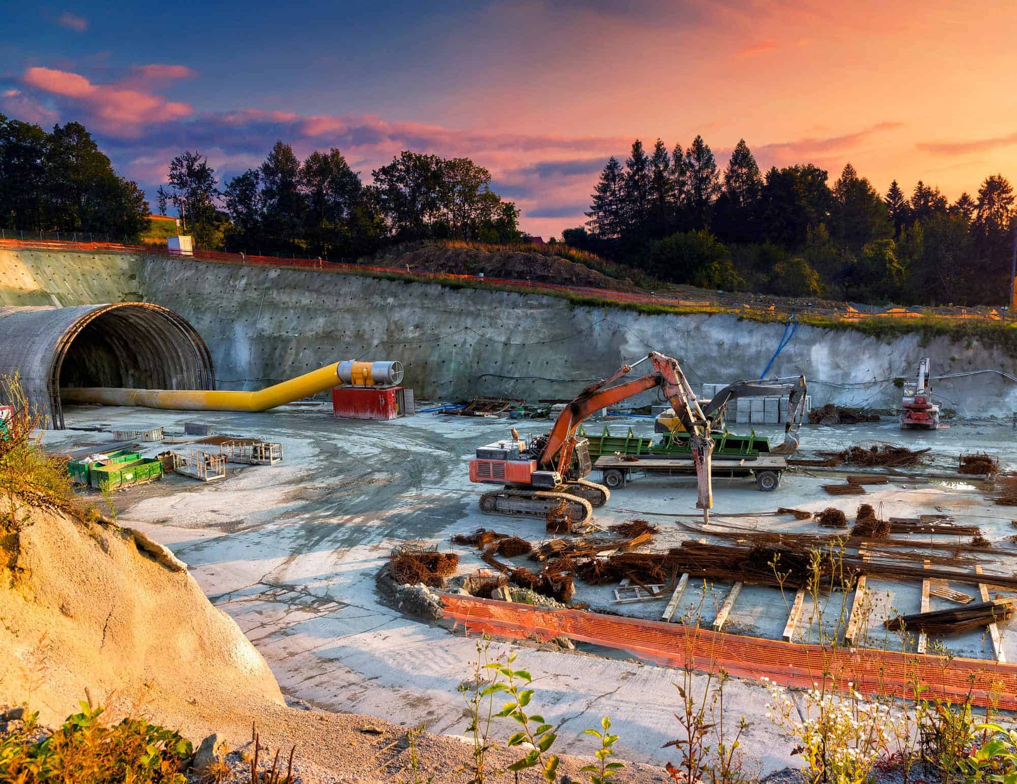
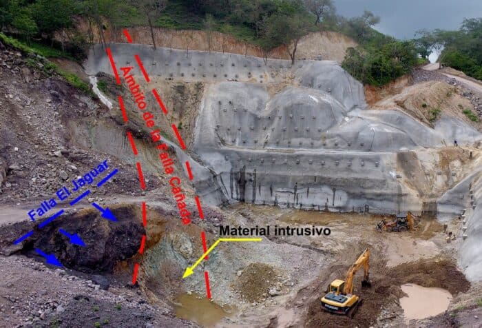
During the construction of part of the road in the State of Nayarit a considerable mass of rock started top slide close to a tunnel portal due to an open cut. It was observed that the terrain failure was caused by the re-activation of a geological fault. Moreover, the tunnel portal also started to fail putting the construction site at high risk, all these combined factors indicated that it would not be possible to stabilize the slide and the portal failure by conventional methods.
The complexity of this geotechnical problem lies in the fact that the slope was in motion and its movement speed was tightly related to the rainy season in the region. In addition, the excavation works/stage to open the tunnel portal was being affected by the unbalanced rock mass, showing a high risk of triggering a huge failure mechanism.
A geotechnical solution that ranges from the simple to the most complex
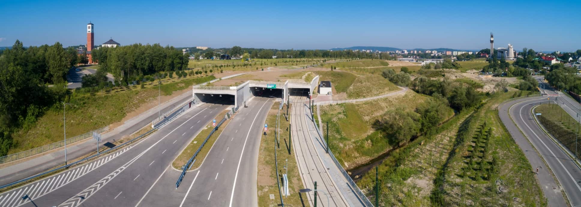
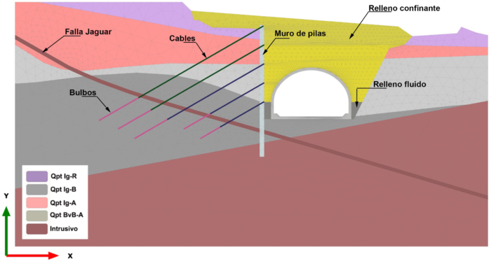
The solution adopted by Fermín Sanchez Reyes’s team was to connect the tunnel, the open cut of the portal, and the zone of the landslide with a very rigid cut and cover tunnel, protected with a large concrete pile wall and active anchors.
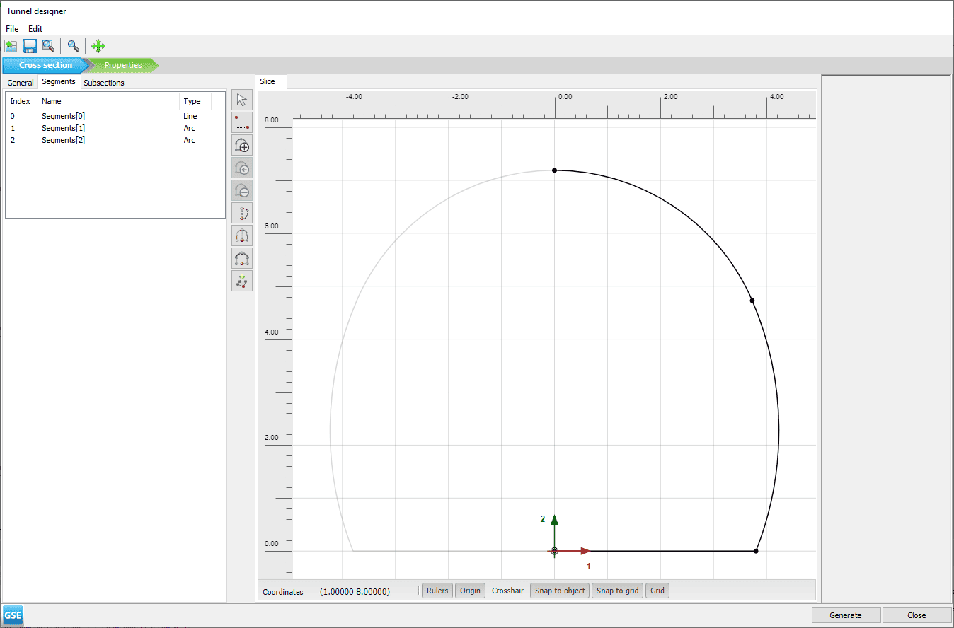
To execute this solution, the team needed to recreate a 3D geotechnical model as close to reality as possible to model the solution they had in mind. So, the first thing they did was to implement an 8-month campaign where they carried out an exhaustive study of the terrain installing piezometers, surface monitoring, drilling, geological/geotechnical mapping of the study area, etc.
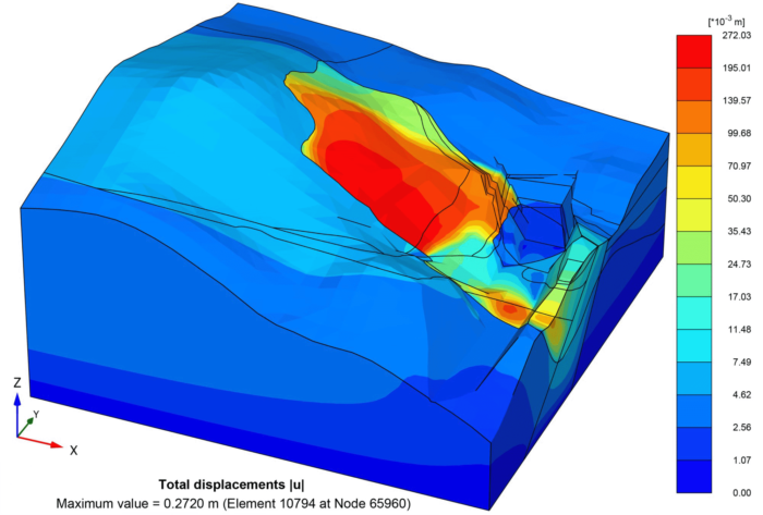
Once the field results investigation was in order, a 3D PLAXIS model was created to represent the movement of the rock mass in the most accurate way possible. They also used a set of 2D PLAXIS cross sections that were also calibrated and used to complement the information of the 3D model with a higher degree of refinement.
Achieving reliable results
Finally, these models were used to calculate the new excavations, structures, and compacted fills of the project. Other solutions were studied which consisted in cutting the mountain with a gentle slope. However, this would imply an enormous earth movement and a low probability of definitively stabilizing it since the main fault structure is located well beyond the maximum allowed area for the construction works.
“Although the proposed solution was not the least expensive, it is the best long-term and the most cost-effective solution because we were able to calculate and model the safest solution for the stability problem as well as to recover the open-excavation-affected land.”
– Fermín Sanchez, Geotechnical Engineer, México Subterráneo A.C
Ph. D Fermín Sanchez Reyes, at México Subterráneo A.C., is well known for his work in underground construction in Latin-American and Spain, mainly in tunnel design and construction, roads, and his studies in rock mechanics.